Accurate and Efficient
Hands-free
Foundations for GIS
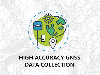
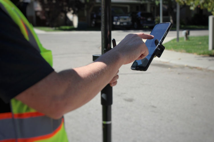
Collect and Locate with Ease
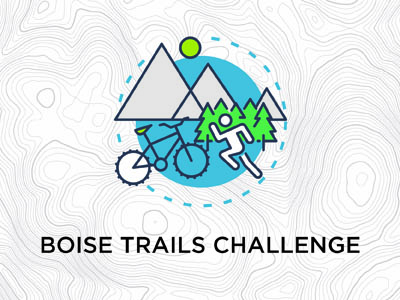
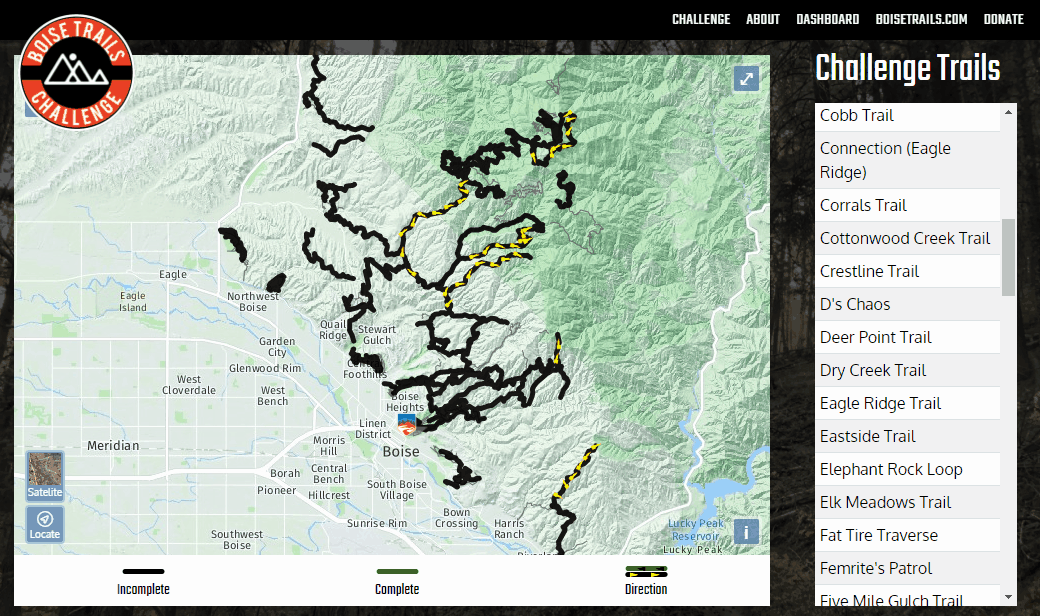
Challenge Accepted
Keep up with Growth
Implementation
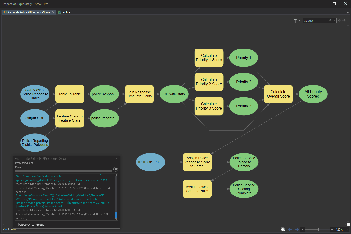
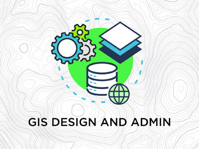
Building a GIS requires getting to know your business needs and processes. It also involves a variety of data sources. I combine years of experience using ArcGIS Desktop software with technology know-how to identify steps and stages to get you up and running. This work includes geodatabase design, cartography, conversion, digitization, and workflow optimization.
Automation
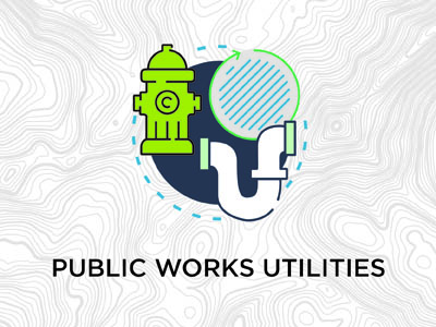
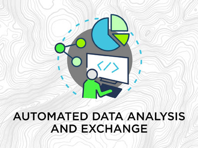
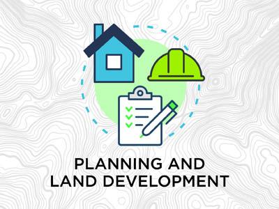
Automating redundant and repetitive tasks allows you to put your time and effort into tasks that require your full thinking power and intuition. Perform routine analysis for planning and land development, public works utilities, dashboarding, and reporting. Extract, transform, and load data to and from other agencies and organizations on a predefined schedule—even when you’re not at work.
Integration
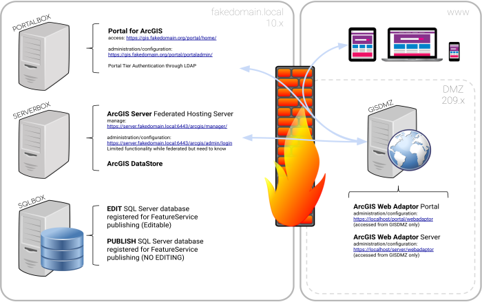
Many systems integrate with GIS. However, these systems don’t talk to each other out of the box—Systems that talk provide more convenient and intuitive customer interactions and let your staff focus on the customers. Integrating business applications opens up possibilities like real-time geographic visualization of your business data, live dashboards and much more.
Accurate and Efficient
Hands-free
Foundations for GIS
Collect and Locate with Ease
Challenge Accepted
Keep up with Growth
Approach
You’re the expert.
You’re the one who knows your job best. This means you also have some of the best ideas of how it could be done better. Often, that involves better tools. I provide digital tools, custom crafted around your ideas. So we start with some good questions and intent listening.
Choose your flavor.
I like to deliver tools that improve your ability to do your work using skills you’re most familiar and comfortable with. A variety of language and platform options enable you to maintain a feeling of control. As upgrades and changes occur, you’ll be able to keep things running with minimal training.
Be involved.
I’ve seen that as I start to develop tools, customers start to see what’s possible. This brings innovation to the way they work – fine tuning the tools they help create.
Idea sharing and continued brainstorming along the way produces something better than we imagined.
Help your team fly.
Even the best tools need a little training. I’d like to make sure your team knows how to use the tools I deliver and has the documentation they need. When I hand over the keys, you’ll be ready for take off!
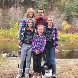
Family

Geospatial Software Consultant
Fun